Types of HNV farmland in Ireland
In Ireland, as is the case throughout Europe, we have three types of HNV farmland.
Using data gathered from 102 farms across Ireland we can describe a number of sub-types of HNV farmland that occur in Ireland.
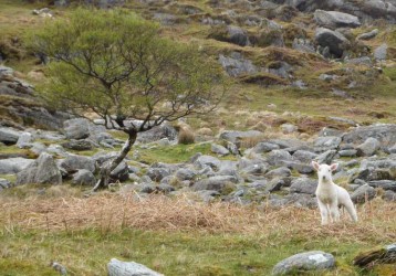
Whole HNV farms with no commonage associated with them. These farms were typically lowland with low proportions of peatland and often high semi-natural grassland coverage. They occurred predominantly in the Burren but also occurred elsewhere, and may be found along the coast where they have important habitats such as machair, sand dunes and salt marsh.
The average coverage of semi-natural habitats for this type was 75%. The semi-natural habitats were often reasonably open and the associated field boundary density was quite low (average 93m/ha).
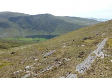
These farms were typically around 40ha or smaller in size. About 45% of these farms had some commonage but many of them were entirely private. The average coverage of semi-natural habitats for this type was 81%.
These farms were associated with very high field boundary densities (273m/ha). These farms occurred throughout Ireland but this type included all the farms surveyed on the islands. They occurred in both lowland and upland areas.
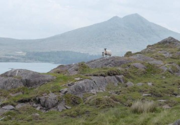
These farms were 208ha in size on average with extremely high proportions of semi-natural habitat cover (91%), most of which was peatland. About 45% of these farms had some commonage but many of them were entirely private.
Many of these farms occurred in upland areas of Connemara, the Beara peninsula, the Inishowen peninsula, the Slieve Aughties, the Comeraghs and Wicklow uplands.
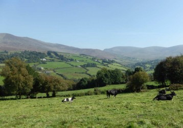
The average proportion of semi-natural vegetation was 68%. The elevation range on these farms was very high indicating lowland areas along with upland peatland. A very high proportion of these farms had commonage associated with them (62%). These farms (or at least parts of them) appeared to be farmed more intensively than the other three Whole HNV sub-types.
The stocking density was the highest of the Whole HNV sub-types (though still low at 0.67 LU/ha). These farms also had the highest chemical fertiliser inputs per hectare of privately owned land (0.22 tonnes/ha). All the farms in this group occurred in the Comeragh uplands and the Wicklow uplands.
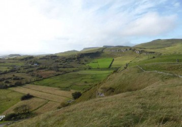
Farms in this sub-type had high proportions of semi-natural habitat (55%) and field boundary density was also very high (216m/ha).
The proportion of farms in this group that had commonage was low (8%) and peatland made up a lower proportion of the semi-natural habitats than many of the other groups. The proportions of semi-natural grasslands were higher on these farms than the other groups.
Of all the groups identified, this group showed signs of attempts to improve the grasslands that were not particularly successful as evidenced by higher proportions of semi-improved grassland (11%).
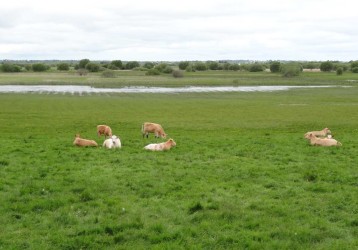
These farms were unusual as they had relatively low proportions of semi-natural habitats (28% on average). Though, it is important to remember that, this is still a high proportion of semi-natural habitat cover on a national scale. They had the highest stocking density (1.29 LU/ha). These farms have high field boundary densities, similar to other HNV groupings (213m/ha) and were lowland farms. These farms have higher proportions of green land or lowland that is more intensively farmed than the semi-natural habitat areas.
They have little or no commonage and low average proportions of peatland habitats (8%) but have high average semi-natural grassland values (22%). An important aspect of these farms is the landscape they occur in. These farms occur along the Shannon and, while not dominated by semi-natural habitats, contribute to larger landscape-level features such as the nationally important species-rich wet grasslands of the Shannon Callows.
